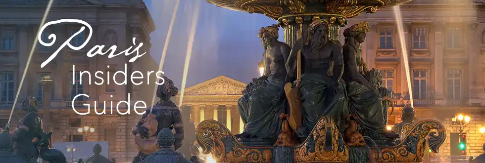


Paris Islands In The Seine – Walking The Heart Of Old Paris
 On the Seine River, a bateau sails between Île de la Cité and Île de la Cité
Paris seems permanent. Bridges feel like they have always been fixed in place, the quays line up neatly, and the river appears to behave as if it always was this way. But the Paris you see today is a relatively recent arrangement, built over centuries of revision and reshaping. Beneath the streets, parks, and neighborhoods lies an older city made from river channels, reclaimed land, and islands that no longer appear on maps.
You may think there are only two Paris islands — Île de la Cité and Île Saint-Louis. The truth is more complicated — and more revealing. The Seine once divided itself into multiple branches that formed natural islands, temporary islets, and fields that shifted with floods and seasons. What you walk across today is not only stone and pavement, but also geography edited by time.
When the Seine Was in Charge
 Embankments now keep the Seine in check, photo by Mark Craft
Before the Embankments
Before stone quays and symmetrical bridges imposed order, the Seine wandered freely through Paris. Channels split, re-joined, and shifted course. Sediment formed shoals. Islands emerged gradually, then dissolved just as slowly. Paris grew inside this movement, shaped by water rather than built over it.
Over time, the city grew impatient with water that refused to stay put. Channels were redirected, islands were merged into the mainland, and low ground was filled until it was strong enough to carry buildings. By the nineteenth century, the river was constrained into the form we recognize today. Yet the old geography did not vanish. It simply stopped appearing above street level.
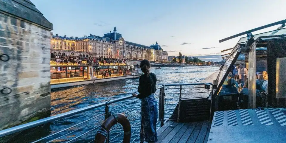
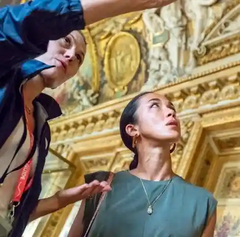
A Classic Seine Dinner Cruise
A dinner cruise is one of the easiest ways to see Paris lit up at night without racing across town. This 2.5-hour cruise serves classic French cuisine on an all-glass boat, so the views stay with you as the landmarks slide by.
Île aux Cygnes: A Man-Made Paris Island
 Île aux Cygnes seen from the Eiffel Tower, photo by Mark Craft
Near the Eiffel Tower, a narrow island stretches between bridges and looks almost accidental, as if the river simply forgot to carry it away. In fact, Île aux Cygnes is completely artificial. It was created in 1827 during port construction at Grenelle, part of the city's effort to industrialize the Seine. Only later did it become one of the more unusual walking islands in Paris.
Over time, it softened into one of the most distinctive stretches of river in Paris. The Statue of Liberty replica is what most visitors notice, but the island's origin is its more interesting story. At one point, the city even explored the idea of building a runway for light aircraft over the length of the island. The proposal went nowhere, but it captured a moment when the Seine was imagined not just as scenery, but as airspace.
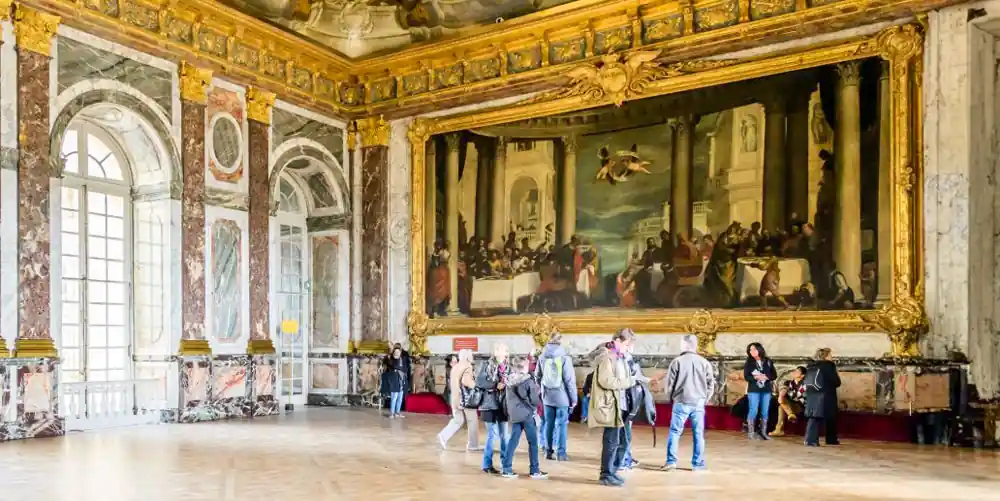
The Essential Versailles Day Trip
Versailles is unforgettable, but the crowds can slow the visit to a crawl. A guided tour keeps the day moving with easier entry, the palace highlights explained, time in the gardens, and maybe even a stop at Marie Antoinette's estate.
The Île des Cygnes – N'existe Pas
 1730 map of Isle des Cygnes, Champ de Mars is on the right, photo Wikimedia
Long before today's Île aux Cygnes, another island with almost the same name lay closer to the Left Bank, near Champ de Mars and Les Invalides. That original Île des Cygnes was a natural landform shaped by water rather than planning.
By the end of the eighteenth century, it was gone. The narrow channel was filled in and the island folded into the city. No plaque marks its passing. What had once floated became pavement.
Square René Le Gall & The Buried Rivers of Paris
 Square René Le Gall, photo Wikimedia by Chaoborus
Square René Le Gall in the 13th Arrondissement looks like a typical Paris park. But this calm pocket of green sits on ground that once was an island in the Bièvre River, one of the most overlooked watercourses in the city. In medieval Paris, the Bièvre powered workshops and carried both goods and waste. Tanneries clustered along its banks.
The island that was here, known as Île aux Singes, supported workshops as well as taverns. According to early accounts, monkeys were even brought in to entertain guests at riverside establishments, hence its name.
Eventually, the river became inconvenient. The city buried it. The island lost its identity as land surrounded by water and gained a new one as a neighborhood green space. This is one of the clearest examples of buried rivers in Paris — not flowing free, but underfoot.

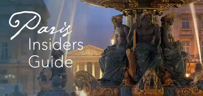
Louvre Guided Tours
The Louvre is vast, and a good guide makes the visit easier. See the Mona Lisa, the Venus de Milo, and other highlights while hearing how this former royal palace became the world’s most visited museum.
Île Saint-Louis – From Pasture to Cobblestone
 Île Saint-Louis today, photo Hotel de Lutece
Île Saint-Louis, did not begin as a single island. It was two, separated by a canal that divided Île Notre-Dame from Île aux Vaches, a grazing island used exactly as its cow-derived name suggests.
In the late seventeenth century, engineers filled the canal between them. The unified island was eventually renamed in honor of Louis IX. By the eighteenth century, wealthy families had moved in, transforming open land into refined city living. This is how Paris works. It does not erase land, it repurposes it.
Île Louviers: An Island That Became a Boulevard
 Île Louviers on a 1550 map of Paris also showing the tip of Île St-Louis
Just beyond Île Saint-Louis once floated Île Louviers, formed from sand and sediment deposited by the river. In the sixteenth and seventeenth centuries it served as a location for public celebrations and royal events. Later it became a storage site as the city grew.
In the nineteenth century the river channel around the island was filled, and Île Louviers was transformed from island to riverfront. Today, it lies beneath streets near Boulevard Morland and Quai Henri-IV in the 4th Arrondissement — a lost island of Paris that survives only in old maps and the irregular shape of the neighborhood that incorporated it.
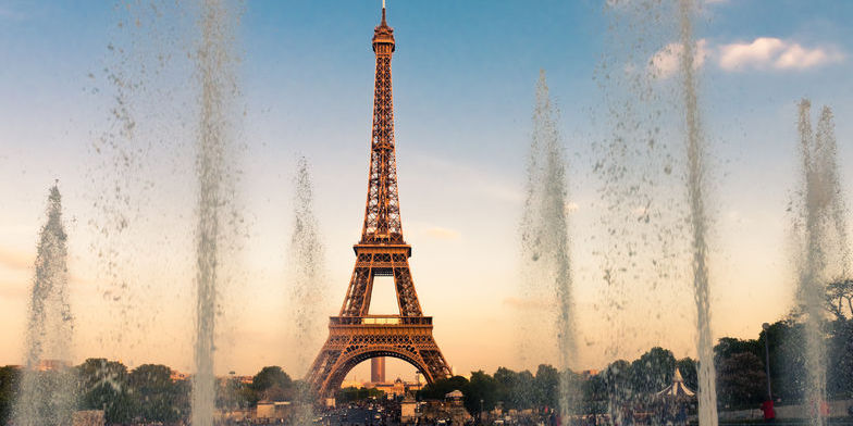
Eiffel Tower Fast-Track Tours
Everyone wants to go up the Eiffel Tower, which means the lines can take a real bite out of your day. A guided fast-track tour keeps things moving and gets you up to the views while others are still waiting below.
Why the Paris Islands Still Matter
 Statue of Henry IV on Île de la Cité
The islands are ancient history, right? But, the remind us of how Paris does not grow in straight lines — it absorbs. When a street curves without explanation, when a park appears oddly placed, when a quay jogs at an unexpected angle, there is usually water behind the shape. The Paris islands of the past still exert pressure on the city from underneath, guiding how roads lie and buildings settle.
Paris is not a city that simply sits beside the Seine. It is built on the river's past paths.

A Champagne Day Trip From Paris
Spend a day in Champagne visiting historic houses and smaller producers, walking through vineyard villages, and tasting the wines that made the region famous. It's an easy way to see another side of France beyond Paris.
Paris Island Walking Routes
 Vintage photo of Rue St Louis en l'île on Île Saint-Louis
![]()
THE TWO ISLANDS WALK
This route crosses the oldest Paris islands and traces the city's shift from medieval center to eighteenth-century refinement.
- Route: Pont Neuf → Île de la Cité → Pont Saint-Louis → Île Saint-Louis → Pont Marie
- Time: 60 to 90 minutes
- Best hours: Morning
USEFUL LINKS
![]()
THE VANISHED ISLAND WALK
You walk through a part of Paris where water once flowed and land once shifted before becoming streets and embankments. The island is gone, but the route traces its shape through the present-day city.
- Route: Pont Alexandre III → Invalides → Champ-de-Mars
- Time: 45 to 60 minutes
- Best hours: Late afternoon
USEFUL LINKS
![]()
THE BURIED RIVER WALK
This walk traces the ghost of a river, the Bièvre River, that helped build Paris and was later sealed underground. There are numerous small ground markers indicating where the buried river once flowed. Around the junction of rue Mouffetard and rue Monge, and in nearby streets, there are clusters of plaques and medallions marking the old river bed.
- Route: Square René-Le Gall → Gobelins → former Bièvre path
- Time: About 60 minutes
- Best hours: Morning
USEFUL LINKS
Continue Your Paris Adventure
 A Seine dinner cruise with Diamant Bleu
The best of Paris is found both on the water and on dry land. These experiences will help to complete your Paris adventure.
🎨 Skip-the-Line Louvre Masterpiece Tour →
🗼 VIP Tours of the Eiffel Tower →
🚢 Toast Paris on a Seine River Dinner Cruise →
👑 A Royal Day at Versailles →
⚜️ City of Paris Website: News & Happenings →

Find Your Paris Hotel: Choosing The Right Area
Paris hotels book up fast, and a good location saves time every day. This search pulls together 4- and 5-star stays with strong reviews across key neighborhoods, so you compare options quickly and book with confidence.


